Why buy from Pelee Wings
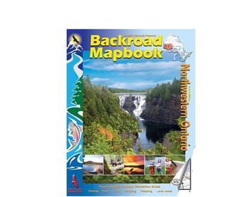
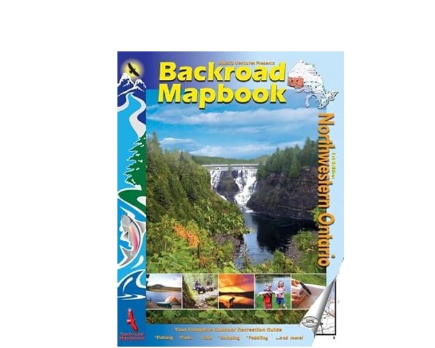
Chrismar Backroad Mapbook: Road and Recreational Atlas
Product Price
$10.00
Tagline
Navigate off the beaten path with the comprehensive Backroad Mapbook.
- Secure checkout by Stripe
- Free pickup at our Leamington store
- 2% off when you pay by cash or e-transfer
- Klarna available at checkout
Not sure yet? Try before you buy.
Field-test this pair on our Lake Erie waterfront against real birds and test charts, or ask us about an in-home trial if you can't make it to the store. We'd rather you got the right glass than the expensive one.
Additional details
Description
Explore Canada's backroads with the Chrismar Backroad Mapbook: Road and Recreational Atlas. This comprehensive guide features detailed topographic maps, clearly marked trails, paddling routes, fishing hotspots, campsites, and points of interest. Perfect for planning your next outdoor adventure, this atlas includes updated road networks, resource roads, and recreational sites. Discover hidden gems and navigate with confidence using this essential tool for any outdoor enthusiast in Canada.
What We Love About It
We love the Chrismar Backroad Mapbooks because they are an invaluable tool for exploring Canada's vast wilderness. Whether you're planning a weekend camping trip or a multi-day backcountry adventure, these map books provide detailed and reliable information that you simply can't find anywhere else. Here's what makes them so great:
- Unmatched Detail: Features high-resolution topographic maps with clearly marked trails, resource roads, and points of interest.
- Recreation Focused: Includes paddling routes, fishing hotspots, campsites, and other recreational sites.
- Durable Design: Made with waterproof and tear-resistant paper for use in any weather conditions.
- GPS Compatible: Grid referenced for easy GPS navigation.
- Regularly Updated: Updated road networks and recreational information ensure accuracy.